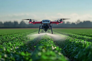
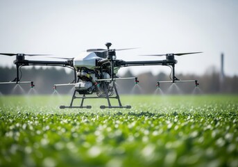
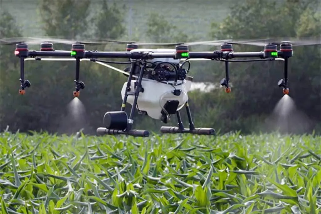
Why Use Drones in Agriculture?

Drones in agriculture provide real-time aerial imaging for disease detection and plant health analysis, enabling efficient crop monitoring. With precision spraying technology, farmers can apply pesticides and fertilizers with accuracy, reducing chemical waste by up to 90%. Their speed and efficiency allow coverage of up to 60 acres per hour, which is 40 times faster than manual labor. Additionally, drones support data analytics through accurate yield estimation and detailed field mapping. They also enhance safety by minimizing human exposure to chemicals and difficult terrain.

Precision Spraying

Ultrasonic radar and AI-powered systems enable targeted spraying that reduces chemical use by up to 90% while increasing effectiveness.

Planting & Seeding

Specialized drones can plant up to 100,000 seeds per day with precise spacing, ideal for reforestation and cover crop planting.
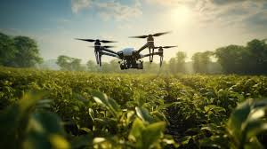
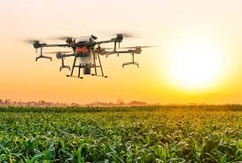
Crop Monitoring

Crop Monitoring

High-resolution aerial images provide real-time insights into crop growth, pest damage, and overall field conditions.

Soil Analysis

Soil Analysis

Drones collect soil data to assess fertility, moisture levels, and help improve irrigation planning.

Survey & Mapping

Survey & Mapping

Accurate topographic mapping supports land use planning, irrigation systems, and construction projects.

Drone Registration Form